Search results
Pages
-
-
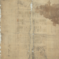
Title
-
Hamilton
-
Date
-
1800
-
Subject
-
-
Identifier
-
macrepo:50502, local: RMC_7453
-
-
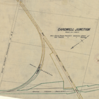
Title
-
Cardwell Junction
-
Date
-
1903-08-07
-
Subject
-
-
Identifier
-
macrepo:26997, local: RMC_107343
-

-
Title
-
Barton
-
Date
-
1846-11
-
Subject
-
-
Identifier
-
macrepo:65208, local: RMC_7519
Pages