Search results
-
-
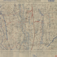
Title
-
Moorseele-Nord 1:10,000
-
Date
-
1918-02-12
-
Subject
-
Maps, World War, 1914-1918, Maps, World War, 1914-1918--World War, 1914-1918
-
Identifier
-
macrepo:4072, local: 030WW1MAP
-
-
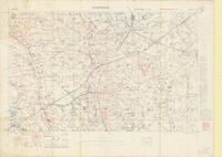
Title
-
Zonnebeke: Belgium
-
Date
-
1917-09-08
-
Subject
-
World War, 1914-1918, World War, 1914-1918--France
-
Identifier
-
macrepo:66734, local: PC0026
-
![20.U5 [Colombo House] December 18, 1917](/islandora/object/macrepo%3A5216/datastream/TN/view)
-
Title
-
20.U5 [Colombo House] December 18, 1917: Belgium
-
Date
-
1917-12-18
-
Subject
-
Aerial reconnaissance, World War, 1914-1918, Aerial reconnaissance, World War, 1914-1918--France--World War, 1914-1918
-
Identifier
-
macrepo:5216, local: WW1AIR00055