Search results
Pages
-

-
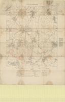
Title
-
Roye : railway map
-
Date
-
1918-08-05
-
Subject
-
World War, 1914-1918, World War, 1914-1918--France
-
Identifier
-
macrepo:74384, local: PC0823
-
![[Peronne Region : Somme Front]](/islandora/object/macrepo%3A70868/datastream/TN/view)
-
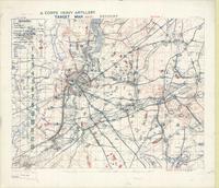
Title
-
[Peronne Region : Somme Front]
-
Date
-
1917-02-22
-
Subject
-
World War, 1914-1918, World War, 1914-1918--France
-
Identifier
-
macrepo:70868, local: PC0508
-

-
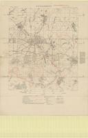
Title
-
Guillemont
-
Date
-
1916-08-05
-
Subject
-
World War, 1914-1918, World War, 1914-1918--France
-
Identifier
-
macrepo:73309, local: PC0709
-
-
Title
-
Guillemont
-
Date
-
1916-08-05
-
Subject
-
World War, 1914-1918, World War, 1914-1918--France
-
Identifier
-
macrepo:73299, local: PC0708
-
![Railway map : [Peronne Region]](/islandora/object/macrepo%3A73730/datastream/TN/view)
-
Title
-
Railway map : [Peronne Region]
-
Date
-
1918-08-19
-
Subject
-
World War, 1914-1918, World War, 1914-1918--France
-
Identifier
-
macrepo:73730, local: PC0742
-
![Railway map : [Nesle, Ham]](/islandora/object/macrepo%3A73728/datastream/TN/view)
-
Title
-
Railway map : [Nesle, Ham]
-
Date
-
1918-08-18
-
Subject
-
World War, 1914-1918, World War, 1914-1918--France
-
Identifier
-
macrepo:73728, local: PC0740
-
-
Title
-
Becourt
-
Date
-
1918-06-18
-
Subject
-
World War, 1914-1918, World War, 1914-1918--France
-
Identifier
-
macrepo:73395, local: PC0713
-

-
Title
-
Thorigny
-
Date
-
1918-09-19
-
Subject
-
World War, 1914-1918, World War, 1914-1918--France
-
Identifier
-
macrepo:73394, local: PC0712
-
-
Title
-
Guillemont
-
Date
-
1916-08-05
-
Subject
-
World War, 1914-1918, World War, 1914-1918--France
-
Identifier
-
macrepo:73316, local: PC0710
-

-
Title
-
St. Riquier
-
Date
-
1916-11
-
Subject
-
World War, 1914-1918, World War, 1914-1918--France
-
Identifier
-
macrepo:73272, local: PC0704
Pages