Search results
-
-
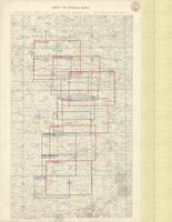
Title
-
Index to Special Maps
-
Date
-
1918-03-02
-
Subject
-
World War, 1914-1918, World War, 1914-1918--Belgium--France
-
Identifier
-
macrepo:73992, local: PC0790
-

-
Title
-
Passchendaele Ridge
-
Date
-
1918-02-01
-
Subject
-
World War, 1914-1918, World War, 1914-1918--Belgium
-
Identifier
-
macrepo:73682, local: PC0730ww1map
-

-
Title
-
Passchendaele Ridge
-
Date
-
1918-03-07
-
Subject
-
World War, 1914-1918, World War, 1914-1918--Belgium
-
Identifier
-
macrepo:73687, local: PC0731ww1map