Search results
Pages
-

-
Title
-
Hazebrouck 5A
-
Date
-
1918-06
-
Subject
-
World War, 1914-1918, World War, 1914-1918--France, Belgium
-
Identifier
-
macrepo:73921, local: PC0761ww1map
-
-
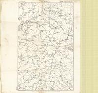
Title
-
Germany, 1M, western half
-
Date
-
1918-11-26
-
Subject
-
World War, 1914-1918, World War, 1914-1918--Belgium
-
Identifier
-
macrepo:73923, local: PC0764
Pages