Search results
-
-
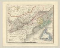
Title
-
Canada &c.
-
Date
-
1840
-
Subject
-
-
Identifier
-
macrepo:81374, local: RMC_107789
-
-
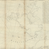
Title
-
Barrington Bay
-
Date
-
1776-04-06
-
Subject
-
-
Identifier
-
macrepo:21763, local: RMC_4163
-
-
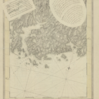
Title
-
White Haven
-
Date
-
1774-03-20
-
Subject
-
-
Identifier
-
macrepo:21761, local: RMC_4161