Search results
Pages
-
-
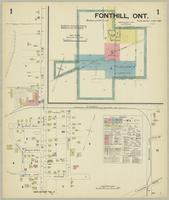
Title
-
Fonthill, Ont.
-
Date
-
1925-06
-
Subject
-
-
Identifier
-
macrepo:75729, local: Fonthill_FIP_1925_2
-

-
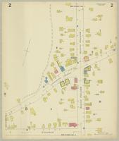
Title
-
Fonthill, Ont.
-
Date
-
1925-06
-
Subject
-
-
Identifier
-
macrepo:75730, local: Fonthill_FIP_1925_3
-
-
Title
-
Fonthill, Ont.
-
Date
-
1925-06
-
Subject
-
-
Identifier
-
macrepo:75727, local: Fonthill_FIP_1925_1
Pages