Search results
Pages
-

-
Title
-
Niagara
-
Date
-
1937
-
Subject
-
-
Identifier
-
macrepo:77626, local: WWII_Canada_Niagara
-
-
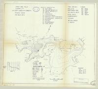
Title
-
Upper High Falls:
-
Date
-
1966
-
Subject
-
-
Identifier
-
macrepo:82039, local: ON_LakeMap_UpperHighFalls_Lanark_1966
-
-
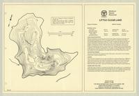
Title
-
Little Clear Lake:
-
Date
-
1967
-
Subject
-
-
Identifier
-
macrepo:81989, local: ON_LakeMap_LittleClear_Frontenac_1967
-

-
Title
-
A map of the discoveries made by Capts. Cook & Clerke, in the years 1778 & 1779: between the eastern coast of Asia and the western coast of North America, when they attempted to navigate the North Sea....
-
Date
-
1785-01-01
-
Subject
-
Cook, James, 1728-1779--Clerke, Charles, 1741-1779, Cook, James, 1728-1779--Clerke, Charles, 1741-1779--North Pacific Ocean--Pacific Coast (North America)--Pacific Coast (Asia)
-
Identifier
-
macrepo:21771, local: RMC_4172
-

-
Title
-
Connaught Range
-
Date
-
1935
-
Subject
-
-
Identifier
-
macrepo:74495, local: WW2_TrainingBase_ConnaughtRange
Pages