Search results
Pages
-
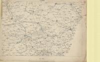
![Railway map : [Nesle, Ham]](/islandora/object/macrepo%3A73728/datastream/TN/view)
-
Title
-
Railway map : [Nesle, Ham]
-
Date
-
1918-08-18
-
Subject
-
World War, 1914-1918, World War, 1914-1918--France
-
Identifier
-
macrepo:73728, local: PC0740
-
-
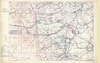
Title
-
Cassel
-
Date
-
1914
-
Subject
-
World War, 1914-1918, World War, 1914-1918--France
-
Identifier
-
macrepo:73914, local: PC0754
-
-
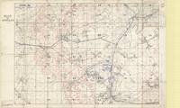
Title
-
Flot de Wingles
-
Date
-
1918-06-12
-
Subject
-
World War, 1914-1918, World War, 1914-1918--France
-
Identifier
-
macrepo:71676, local: PC0623ww1map
-
-
Title
-
Flot de Wingles
-
Date
-
1918-02-09
-
Subject
-
World War, 1914-1918, World War, 1914-1918--France
-
Identifier
-
macrepo:71568, local: PC0621ww1map
Pages