Search results
Pages
-
-
Title
-
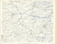
Western Front 4, new series
-
Date
-
1917-04-12
-
Subject
-
World War, 1914-1918, World War, 1914-1918--France
-
Identifier
-
macrepo:73917, local: PC0758
-
-
Title
-
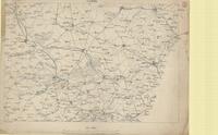
Cassel
-
Date
-
1914
-
Subject
-
World War, 1914-1918, World War, 1914-1918--France
-
Identifier
-
macrepo:73914, local: PC0754
Pages