Search results
Pages
-
-
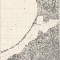
Title
-
Braunsberg-Pillau
-
Date
-
1943
-
Subject
-
-
Identifier
-
macrepo:26735, ww2_Germany_100k_014
-
-
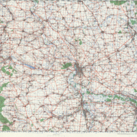
Title
-
Halle
-
Date
-
1944
-
Subject
-
-
Identifier
-
macrepo:21574, ww2_CentralEurope_100k_Q6
-

-
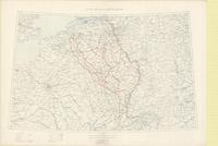
Title
-
Seine, Meuse and Rhine Basins
-
Date
-
1918-11
-
Subject
-
World War, 1914-1918, World War, 1914-1918--Belgium--France
-
Identifier
-
macrepo:74481, local: PC0853
-
-
Title
-
Seine, Meuse and Rhine Basins
-
Date
-
1918-11
-
Subject
-
World War, 1914-1918, World War, 1914-1918--Belgium--France
-
Identifier
-
macrepo:74482, local: PC0852
-
-
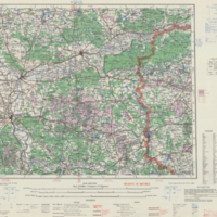
Title
-
Frankfurt-am-Oder
-
Date
-
1944
-
Subject
-
-
Identifier
-
macrepo:10629, ww2_CentralEurope_250k_O53
Pages