Search results
Pages
-
-
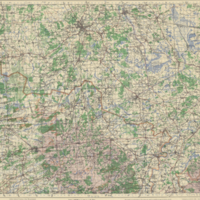
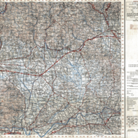
Title
-
Maeseyck
-
Date
-
1943
-
Subject
-
Topographic maps, Topographic maps--Belgium
-
Author(s)
-
Great Britain. War Office. General Staff. Geographical Section.
-
Identifier
-
macrepo:8880,
-
-
Title
-
Agnone
-
Subject
-
Topographic maps , Topographic maps --Italy --
-
Identifier
-
macrepo:5324,
-
-
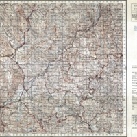
Title
-
Goor: Eastern Holland 1:25,000
-
Date
-
1944
-
Subject
-
Topographic maps, Topographic maps--Netherlands--topographic map
-
Identifier
-
macrepo:19543, : ww2_Holland_25k_3705_R, local: ww2_Holland_25k_3705_R
-
-
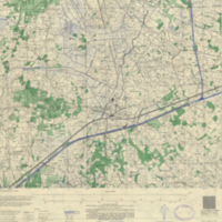
Title
-
Umgebung von Dresden
-
Date
-
1943
-
Subject
-
Topographic maps, Topographic maps--Germany--topographic map
-
Identifier
-
macrepo:27450, ww2_Germany_100k_101
-
![[S.E. London & Sevenoaks]](/islandora/object/macrepo%3A66519/datastream/TN/view)
-
Title
-
[S.E. London & Sevenoaks]
-
Date
-
1940
-
Subject
-
Topographic maps, Topographic maps--England--Wales
-
Identifier
-
macrepo:66519
-
![[Winchester]](/islandora/object/macrepo%3A66523/datastream/TN/view)
-
Title
-
[Winchester]
-
Date
-
1940
-
Subject
-
Topographic maps, Topographic maps--England--Wales
-
Identifier
-
macrepo:66523
-
-
Title
-
Bocholt: Eastern Holland 1:25,000
-
Date
-
1944
-
Subject
-
Topographic maps, Topographic maps--Netherlands--topographic map
-
Identifier
-
macrepo:19705, : ww2_Holland_25k_4105_R, local: ww2_Holland_25k_4105_R
-
-
Title
-
Winterswijk: Eastern Holland 1:25,000
-
Date
-
1944
-
Subject
-
Topographic maps, Topographic maps--Netherlands--topographic map
-
Identifier
-
macrepo:19701, : ww2_Holland_25k_4006_R, local: ww2_Holland_25k_4006_R
-
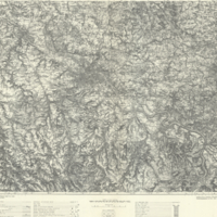
-
Title
-
Monte Cevedale
-
Subject
-
Topographic maps , Topographic maps --Italy --
-
Identifier
-
ITM-00067 ,
-

-
Title
-
Otranto
-
Subject
-
Topographic maps , Topographic maps --Italy --
-
Identifier
-
ITM-00246 ,
-
-
Title
-
Orbetello
-
Subject
-
Topographic maps , Topographic maps --Italy --
-
Identifier
-
ITM-00029 ,
-
-
Title
-
Lucca
-
Subject
-
Topographic maps , Topographic maps --Italy --
-
Identifier
-
ITM-00151 ,
-
-
Title
-
Goole & Pontefract
-
Date
-
1940
-
Subject
-
Topographic maps, Topographic maps--England--Wales
-
Identifier
-
macrepo:65222
-
-
Title
-
Hull
-
Date
-
1940
-
Subject
-
Topographic maps, Topographic maps--England--Wales
-
Identifier
-
macrepo:65223
-

-
Title
-
Angoulême
-
Date
-
1943
-
Subject
-
Topographic maps, Topographic maps--France
-
Author(s)
-
Great Britain. War Office. General Staff. Geographical Section.
-
Identifier
-
macrepo:8830,
-
-
Title
-
Vriezenveen
-
Date
-
1944
-
Subject
-
Topographic maps, Topographic maps--Netherlands--topographic map
-
Identifier
-
macrepo:19524
-
-
Title
-
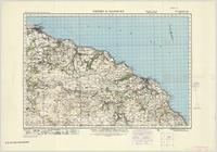
Whitby & Saltburn
-
Date
-
1940
-
Subject
-
Topographic maps, Topographic maps--England--Wales
-
Identifier
-
macrepo:65195
-
-
Title
-
Wasdale
-
Date
-
1940
-
Subject
-
Topographic maps, Topographic maps--England--Wales
-
Identifier
-
macrepo:65197
-
-
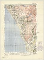
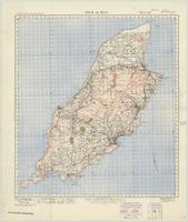
Title
-
Isle of Man
-
Date
-
1940
-
Subject
-
Topographic maps, Topographic maps--England--Wales
-
Identifier
-
macrepo:65196
-
-
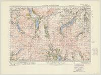
Title
-
Keswick & Ambleside
-
Date
-
1940
-
Subject
-
Topographic maps, Topographic maps--England--Wales
-
Identifier
-
macrepo:65190
Pages